
Stakeholders Embrace Digital Transformation and Land Reforms in Murang’a County
Murang’a County, July 10, 2025
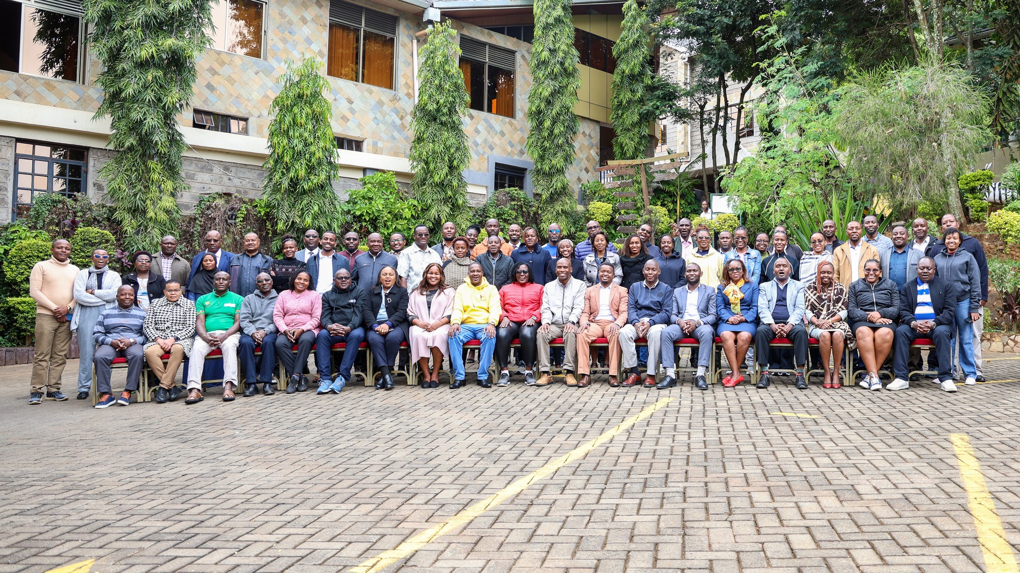
Land stakeholders gathered in Muranga County this week to discuss the digitization process and the use of Ardhisasa system in County.
The stakeholders met at a forum organized by the State Department for Lands and Physical Planning to chart the way for stronger collaboration in sharing data on public land.
The exercise comes after similar forums held in Mombasa and Isiolo counties over the recent past.
These forums are part of ongoing efforts to roll out Ardhisasa in all counties. Ardhisasa is Kenya’s digital land information management system, aimed at modernizing land services and increasing transparency for all Kenyans.
The latest engagement, held at Nokras Riverine Hotel in Murang’a, brought together a wide range of stakeholders, including representatives from the Murang’a County Government, National Government Administration Officers (NGAO), the National Land Commission (NLC), Kenya Wildlife Service (KWS), Kenya Prisons and Kenya Urban Roads Authority (KURA), among others.
At the heart of these forums is a clear goal to sensitize stakeholders on the benefits of Ardhisasa and promote data integration and sharing among institutions. Participants also analyzed existing land-related datasets and identified gaps, challenges, and opportunities for improvement in land record digitization.
Speaking at the forum, National Land Information Management System (NLIMS) Director Monica Obongo emphasized the importance of collective ownership in the digital transformation journey.
“It is my hope that these engagements will bear fruit. We shall see increased land transactions and registration of more landowners across the country,” said Obongo, acknowledging the support provided through the FAO–EU Digital Land Governance Programme.
Murang’a County Commissioner Joshua Nkanatha underscored the importance of public participation in land matters.
“Public participation is critical in land processes. I urge all public institutions to collaborate in identifying and safeguarding public land in this area,” said the County Commissioner.
FAO’s Natural Resources Management Specialist Michael Gitonga highlighted the significance of partnership and technology in land governance.
“FAO recognizes the critical role of collaboration and is committed to enhancing efficient and effective land governance through the digitization of land records and processes,” said Gitonga, who was accompanied by FAO Project Assistant Nancy Cheruiyot.
FAO’s support, provided under the FAO–EU Digital Land Governance Programme, reflects strong international backing for Kenya’s land reform agenda. The programme aims to equip stakeholders—from government agencies to individual landowners—with the tools, infrastructure, and policy framework needed for a smooth and secure transition to digital land management.
Also in attendance were Land Secretary Sarah Maina, senior officials from the State Department for Lands and Physical Planning, including Jesse Waithaka (Director, Kenya Institute of Surveying and Mapping), Cyrus Mbogo (Director, Central Planning), Janerose Karanja (Director, HR & Management), Leonard Maritim (Director, ICT), John Maina (Senior Deputy Director of Surveys), Betty Atieno (Murang’a County Land Coordinator), Elizabeth Njoroge (Deputy Director Land Administration) and Jibril Adan (Head of Public Communications), among others.
With Ardhisasa, Kenyans will no longer have to endure long queues, misplaced files, or corrupt intermediaries. Accessing land records, applying for services, or verifying property ownership will now be just a few clicks away.
These engagements in Mombasa, Isiolo, and Murang’a mark a major step forward in making land services more transparent, efficient, and citizen-centered. They reflect the Government’s vision of an inclusive digital transformation—one where the ordinary Kenyan, is empowered and no one is left behind.
Ends