
NAIROBI, April 17, 2025
Kenya is in the process of revamping its surveying, mapping and land management systems to support the country’s development agenda.
One of the strategies to achieve this goal is the development of a modern geodetic reference system and nationwide large-scale mapping framework.
On Thursday, the third Kenya Geodetic Reference System (KGRS) Strategy Development Workshop was held at the Kenya School of Monetary Studies, bringing together key stakeholders under the leadership of the State Department for Lands and Physical Planning, with support from the World Bank and technical expertise from Frontier Consultants Limited.
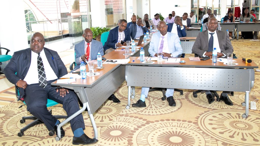
Speaking at the opening ceremony, Director of Surveys Mr. Weldon Maritim emphasized the urgent need for accurate geospatial data to drive Kenya’s development agenda.
“Nearly 70% of our country—particularly the northern regions—remains either unmapped or relies on outdated, small-scale data,” Maritim said. “This initiative will not only fill critical gaps but also redefine how Kenya plans its infrastructure, manages natural resources, and responds to disasters.”
A modern geodetic network is the backbone of precise mapping, enabling better decision-making in urban planning, agriculture, climate resilience, and land administration. With accurate data, Kenya can unlock new opportunities for investment and sustainable growth.
Mr. Ibrahim Mwathane, representing the World Bank, called for a focus on implementation.

“This workshop must produce more than just recommendations—it must lead to real, measurable progress in Kenya’s geospatial capabilities,” he said.
Echoing this sentiment, Professor Faith Karanja, a geospatial expert from Frontier Consultants Limited, stressed the importance of global standards.
“For Kenya to become a regional leader in geospatial technology, our systems must align with international best practices. The KGRS rollout will be a game-changer.”
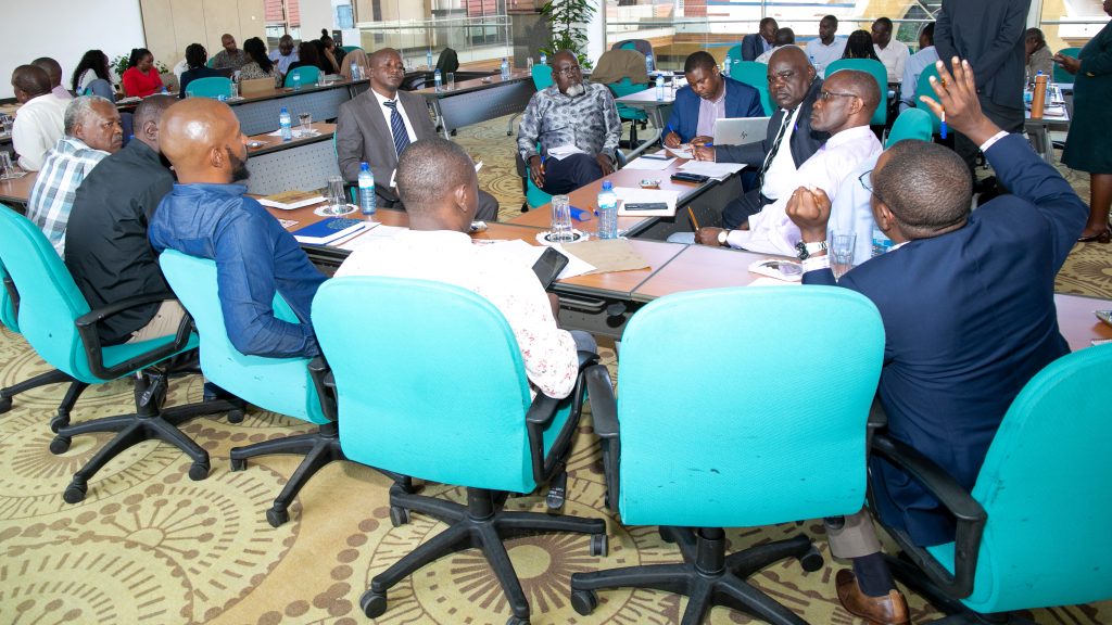
The workshop brought together Government agencies, private sector players, academia, and development partners to finalize a national geospatial strategy.
With strong partnerships and a clear roadmap, Kenya is now on track to transform its geospatial landscape—paving the way for smarter development and a more sustainable future.
Ends…